Multi-scale relief model (MSRM)
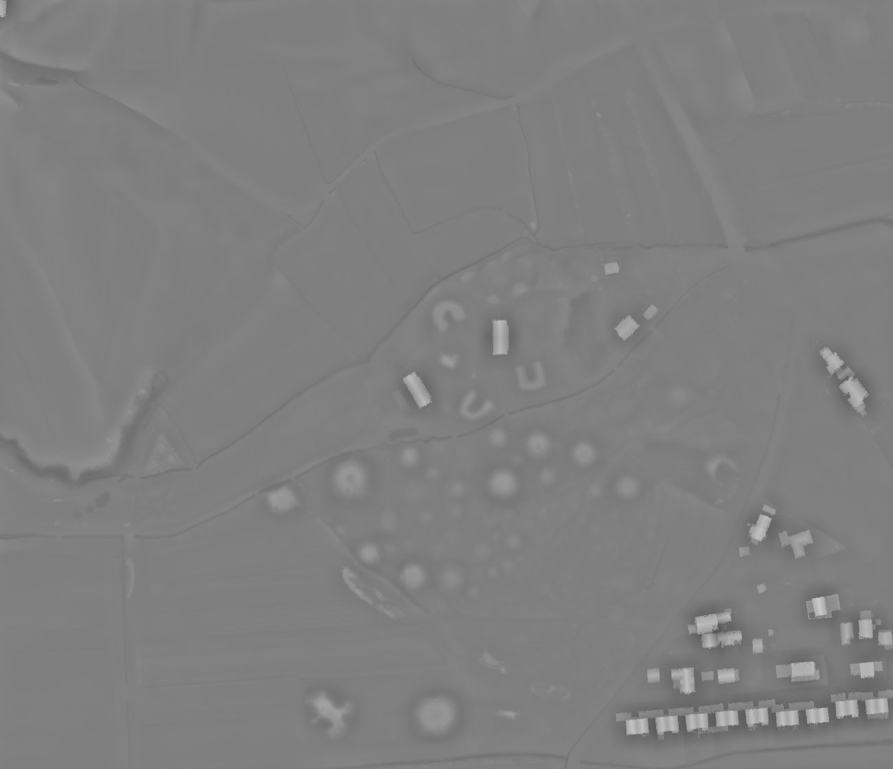
Multi-scale relief model (MSRM) was developed to extract micro-topographic information at various scales. Computing MSRM involves applying multiple low-pass (smooth) filters to the original DEM using a range of kernel radii. Ideally, these radii should span the full spectrum of sizes corresponding to potential features of interest. The algorithm then computes the differences between successive smoothed surfaces and derives the final multiscale relief by averaging these differential relief layers.
Source: Orengo, H. A., Petrie, C. A. 2018. Multi-scale relief model (MSRM): a new algorithm for the visualization of subtle topographic change of variable size in digital elevation models. Earth Surface Processes and Landforms, 43: 1361–1369.